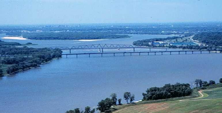
فائل:Miss R dam 27.jpg
Miss_R_dam_27.jpg (771 × 394 عڪسلون، فائيل سائيز: 35 KB، MIME ٽائيپ: image/jpeg)
فائيل جي سوانح
ڪنھن بہ تاريخ/وقت تي ٽڙڪ ڪري ڏسندا تہ ان وقت اهو فائيل ڪيئن هو.
| تاريخ/وقت | آڱوٺي ننھن | ماپَ | واپرائيندڙ | راءِ | |
|---|---|---|---|---|---|
| موجود نسخو | 02:33, 19 مارچ 2005 |  | 771 × 394 (35 KB) | Fanghong | from en wiki |
ڳنڍڻا
هن فائيل سان هيٺيان صفحا ڳنڍيل آهن.
گلوبل فائيل جو استعمال
ھيٺيون وڪيز بہ ھيءُ فائيل استعمال ڪن ٿيون:
- ang.wikipedia.org تي استعمال
- ar.wikipedia.org تي استعمال
- azb.wikipedia.org تي استعمال
- ba.wikipedia.org تي استعمال
- bcl.wikipedia.org تي استعمال
- be-tarask.wikipedia.org تي استعمال
- be.wikipedia.org تي استعمال
- bg.wikipedia.org تي استعمال
- bxr.wikipedia.org تي استعمال
- ca.wikipedia.org تي استعمال
- co.wikipedia.org تي استعمال
- cv.wikipedia.org تي استعمال
- cy.wikipedia.org تي استعمال
- da.wikipedia.org تي استعمال
- en.wikipedia.org تي استعمال
- eo.wikipedia.org تي استعمال
- es.wikipedia.org تي استعمال
- es.wikibooks.org تي استعمال
- eu.wikipedia.org تي استعمال
- fr.wikipedia.org تي استعمال
- gcr.wikipedia.org تي استعمال
- gl.wikipedia.org تي استعمال
- gn.wikipedia.org تي استعمال
- ha.wikipedia.org تي استعمال
- he.wikipedia.org تي استعمال
- hi.wikipedia.org تي استعمال
- hu.wikipedia.org تي استعمال
- ia.wikipedia.org تي استعمال
- incubator.wikimedia.org تي استعمال
- it.wikipedia.org تي استعمال
- ja.wikipedia.org تي استعمال
- kk.wikipedia.org تي استعمال
- ko.wikipedia.org تي استعمال
- ky.wikipedia.org تي استعمال
- mg.wikipedia.org تي استعمال
- mhr.wikipedia.org تي استعمال
- ml.wikipedia.org تي استعمال
- mn.wikipedia.org تي استعمال
ھن فائيل جو وڌيڪ گلوبل استعمال ڏسو.

