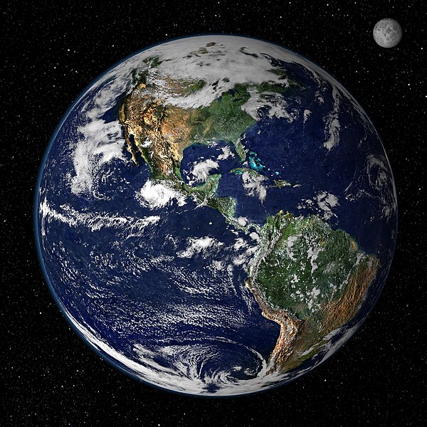
فائل:Earth from Space.jpg

هن پيش-نگاھ جي ماپ: 600*600 پڪزلس. ٻيا تحلل:240*240 پڪزلس | 480*480 پڪزلس | 768*768 پڪزلس | 1,024*1,024 پڪزلس | 2,048*2,048 پڪزلس | 4,096*4,096 پڪزلس
اصلوڪو فائيل (4,096 × 4,096 عڪسلون، فائيل سائيز: 1.84 MB، MIME ٽائيپ: image/jpeg)
فائيل جي سوانح
ڪنھن بہ تاريخ/وقت تي ٽڙڪ ڪري ڏسندا تہ ان وقت اهو فائيل ڪيئن هو.
| تاريخ/وقت | ٽِڪِلِي | ماپَ | واپرائيندڙ | راءِ | |
|---|---|---|---|---|---|
| هاڻوڪو نسخو | 13:02, 14 آگسٽ 2007 |  | 4,096 × 4,096 (1.84 MB) | Shizhao | from http://earthobservatory.nasa.gov/Newsroom/NewImages/images.php3?img_id=4231 This true-color image shows North and South America as they would appear from space 35,000 km (22,000 miles) above the Earth. The image is a combination of data from two sat |
ڳنڍڻا
هن فائيل سان هيٺيان صفحا ڳنڍيل آهن.
فائيل جو ٻين وڪيز تي استعمال
ھيٺيون وڪيز بہ ھيءُ فائيل استعمال ڪن ٿيون:
- bs.wikipedia.org تي استعمال
- de.wikiquote.org تي استعمال
- en.wikipedia.org تي استعمال
- en.wikiquote.org تي استعمال
- en.wikiversity.org تي استعمال
- fr.wikipedia.org تي استعمال
- sv.wikivoyage.org تي استعمال

