فائل:Bethel Alaska aerial view.jpg

هن پيش-نگاھ جي ماپ: 641*599 پڪزلس. ٻيا تحلل:257*240 پڪزلس | 513*480 پڪزلس | 821*768 پڪزلس | 1,095*1,024 پڪزلس | 1,493*1,396 پڪزلس
اصلوڪو فائيل (1,493 × 1,396 عڪسلون، فائيل سائيز: 843 KB، MIME ٽائيپ: image/jpeg)
تَتُ
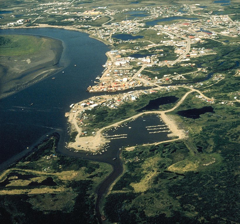
| تشريح | Aerial view of Bethel, Alaska. |
| تاريخ | not specified or unknown |
| ذريعو |
U.S. Army Corps of Engineers Digital Visual Library
|
| ليکڪ | U.S. Army Corps of Engineers, photographer not specified or unknown |
| اجازت (ھن فائيل کي وَراستعمال ڪندي) |
Public Domain |
| Object location | | View this and other nearby images on: OpenStreetMap |
|---|
لائيسنسڪاري
This image or file is a work of a U.S. Army Corps of Engineers soldier or employee, taken or made as part of that person's official duties. As a work of the U.S. federal government, the image is in the public domain.
|
فائيل جي سوانح
ڪنھن بہ تاريخ/وقت تي ٽڙڪ ڪري ڏسندا تہ ان وقت اهو فائيل ڪيئن هو.
| تاريخ/وقت | آڱوٺي ننھن | ماپَ | واپرائيندڙ | راءِ | |
|---|---|---|---|---|---|
| موجود نسخو | 22:13, 10 جُونِ 2017 | | 1,493 × 1,396 (843 KB) | Kingofthedead | Cropped < 1 % horizontally using CropTool with precise mode. |
| 01:53, 20 مارچ 2007 |  | 1,500 × 1,396 (798 KB) | DanMS | {{Information | Description = Aerial view of Bethel, Alaska. | Source = U.S. Army Corps of Engineers Digital Visual Library<br />[http://images.usace.army.mil/images/Hires/4414-21.Jpg Image page]<br />[http://images.usace.army.mil/scripts/PortW |
ڳنڍڻا
هن فائيل سان هيٺيان صفحا ڳنڍيل آهن.
گلوبل فائيل جو استعمال
ھيٺيون وڪيز بہ ھيءُ فائيل استعمال ڪن ٿيون:
- af.wikipedia.org تي استعمال
- ar.wikipedia.org تي استعمال
- arz.wikipedia.org تي استعمال
- azb.wikipedia.org تي استعمال
- az.wikipedia.org تي استعمال
- ceb.wikipedia.org تي استعمال
- de.wikipedia.org تي استعمال
- en.wikipedia.org تي استعمال
- en.wikivoyage.org تي استعمال
- fa.wikipedia.org تي استعمال
- fr.wikipedia.org تي استعمال
- ga.wikipedia.org تي استعمال
- he.wikipedia.org تي استعمال
- incubator.wikimedia.org تي استعمال
- io.wikipedia.org تي استعمال
- it.wikipedia.org تي استعمال
- ja.wikipedia.org تي استعمال
- ko.wikipedia.org تي استعمال
- mdf.wikipedia.org تي استعمال
- ml.wikipedia.org تي استعمال
- mrj.wikipedia.org تي استعمال
- nl.wikipedia.org تي استعمال
- pl.wikipedia.org تي استعمال
- pt.wikipedia.org تي استعمال
- ru.wikipedia.org تي استعمال
- sh.wikipedia.org تي استعمال
- simple.wikipedia.org تي استعمال
- sr.wikipedia.org تي استعمال
- tly.wikipedia.org تي استعمال
- tr.wikipedia.org تي استعمال
- tum.wikipedia.org تي استعمال
- uk.wikipedia.org تي استعمال
- uz.wikipedia.org تي استعمال
- vo.wikipedia.org تي استعمال
- www.wikidata.org تي استعمال
- zh-min-nan.wikipedia.org تي استعمال
- zh.wikipedia.org تي استعمال
- zh.wikivoyage.org تي استعمال